

Transit is big in Ingleside. There's Muni's Green Yard for light rail vehicles, a major BART station and the city's fleet of historic and vintage streetcars are stored at Geneva and San Jose avenues in the Cameron Beach Yard behind the Geneva Office Building and Powerhouse, which was once a streetcar headquarters.
Ingleside is connected! Familiarize yourself with all of the public transit lines in the neighborhood.
Balboa Park BART Station
The Bay Area Rapid Transit, best known as BART, is a regional transit system and convenient way for residents and visitors to get to the Ingleside neighborhood as the station is accessible on Ocean Avenue and close by City College of San Francisco, though the station's official address is 401 Geneva Ave. Passengers can hop on BART to head to downtown San Francisco or to the East Bay. Lines that serve the station includes BART’s yellow, blue, green and red.
🌐 Balboa Park BART Station
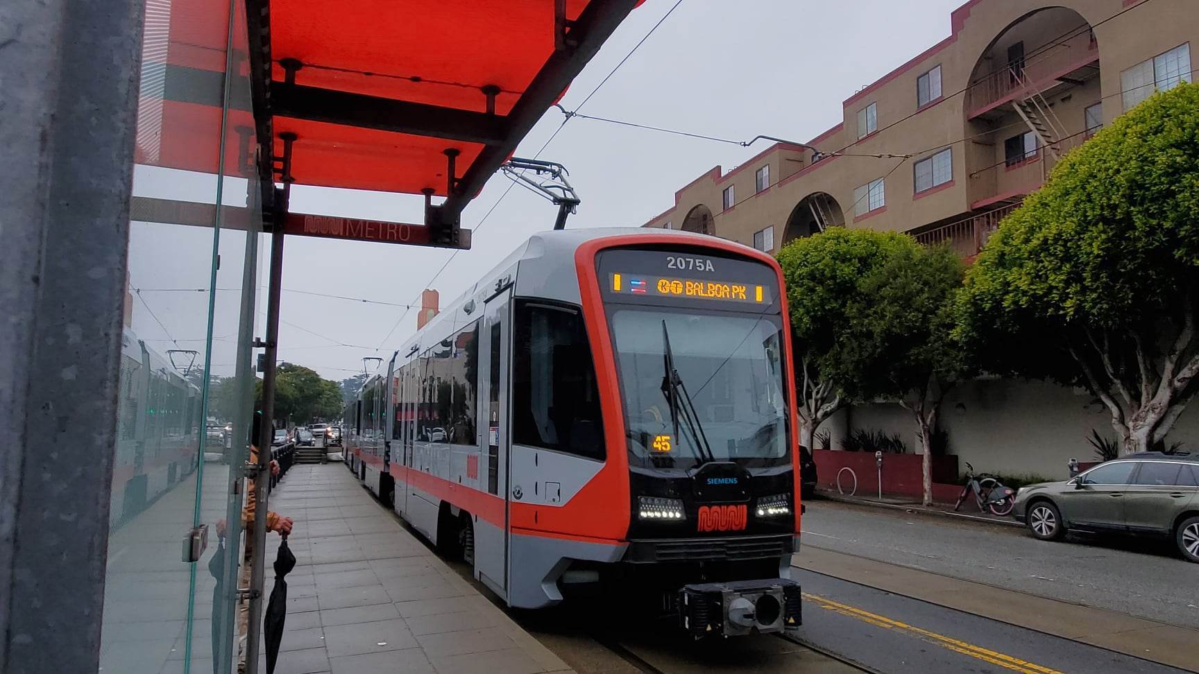
K-Ingleside Light Rail Line
The K-Line serves the Ingleside neighborhood on Ocean Avenue between Junipero Serra Boulevard and Balboa Park BART Station. The K makes its last stop at San Jose and Geneva avenues inside the Balboa Park station. Residents in the West Portal neighborhood are also served by the K. After traveling along West Portal Avenue, the K enters the West Portal subway station and continues traveling in the Market Street subway as the T-Third Street.
🌐 K-Ingleside Line
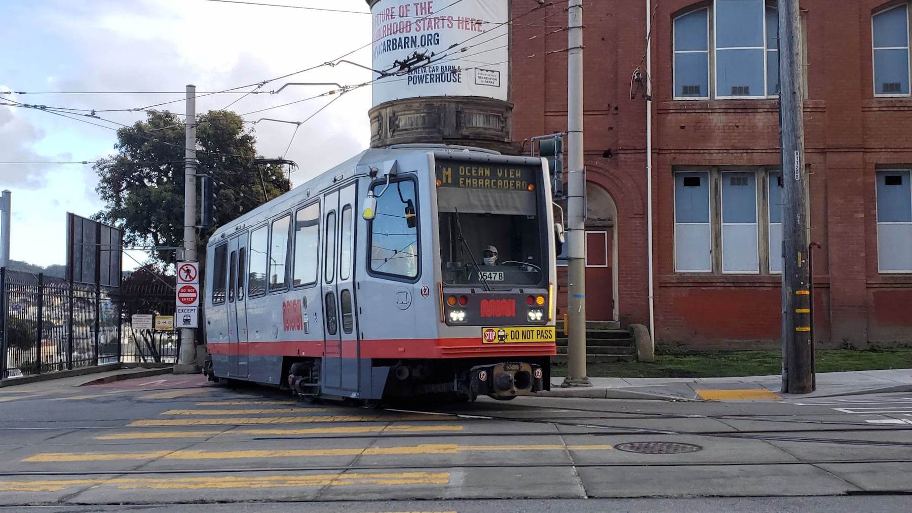
M-Ocean View Light Rail Line
The M-Line serves the Ocean View and parts of the Outer Mission in San Francisco as well as San Francisco State University and the Stonestown Galleria mall. The M also begins and ends its route near the Balboa Park station and travels through the Market Street subway ending at the Embarcadero station.
🌐 M-Ocean View Line
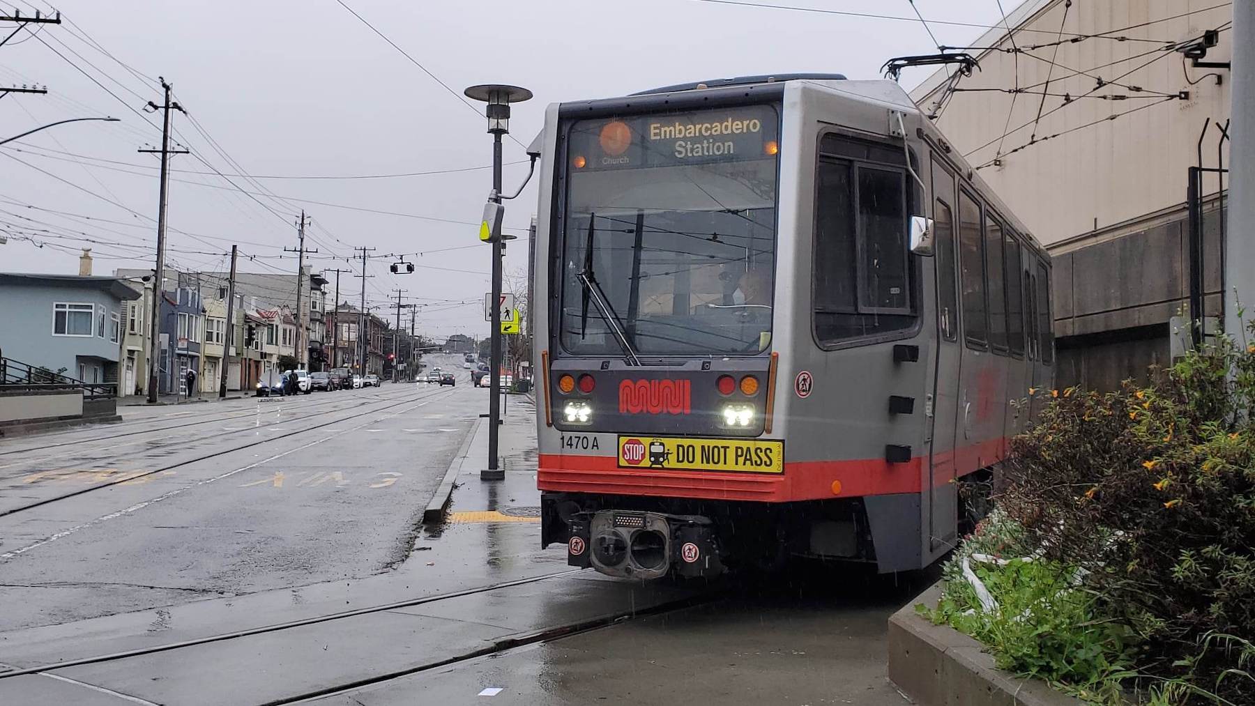
J-Church Light Rail Line
The J-Line is San Francisco’s oldest running Muni rail line and serves the Balboa Park station. It currently makes transit stops in the Noe Valley neighborhood and makes a stop at the popular Mission Dolores Park.
🌐 J-Church Line
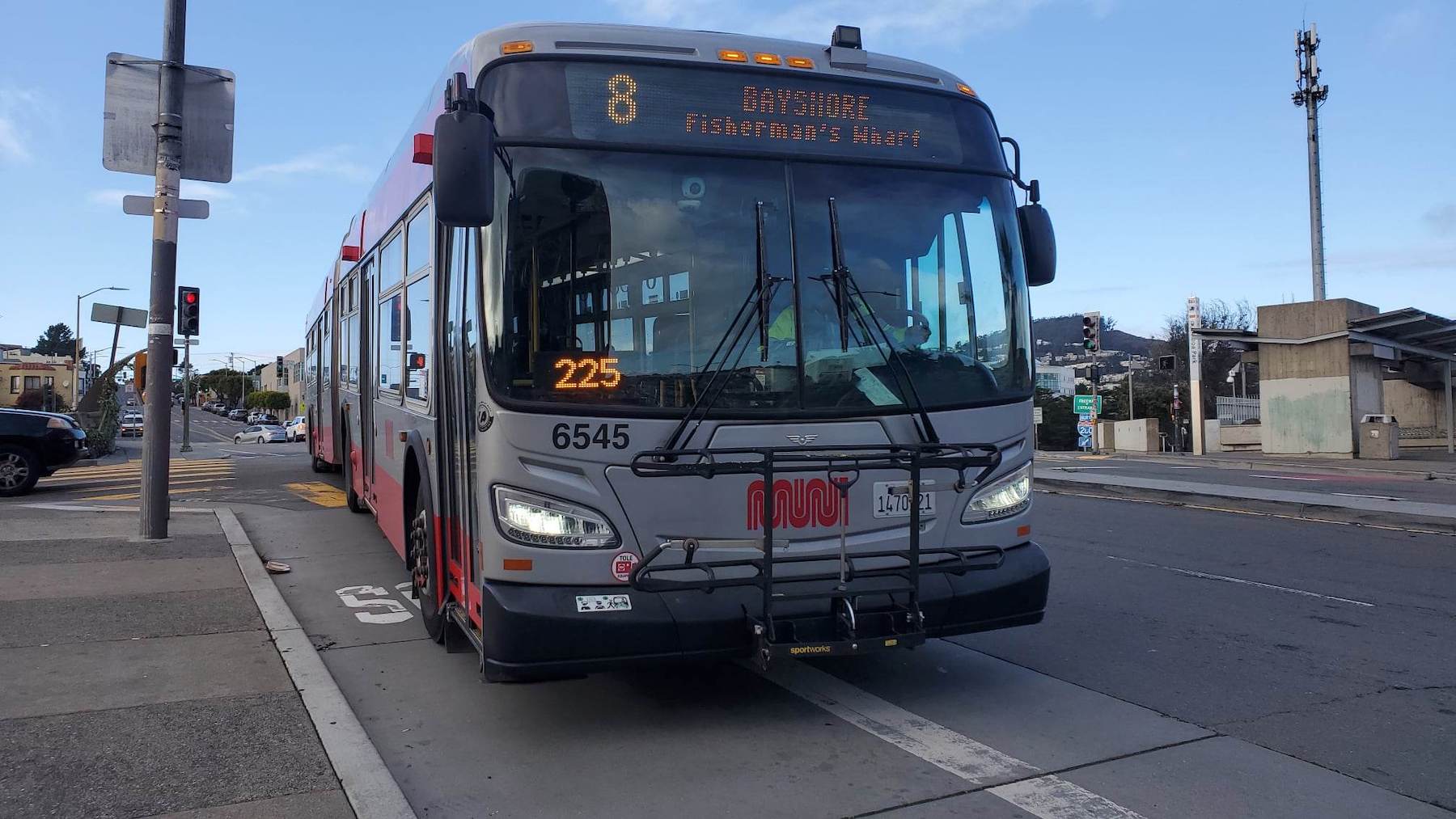
8-Bayshore Bus Line
The terminus for the 8-Bayshore is located at the City College Terminal. It serves a number of different neighborhoods, including the Excelsior and Visitacion Valley. The 8 also heads to downtown San Francisco and connects to Chinatown, North Beach and Fisherman’s Wharf. The 8BX also serves the same terminal.
🌐 8-Bayshore Line
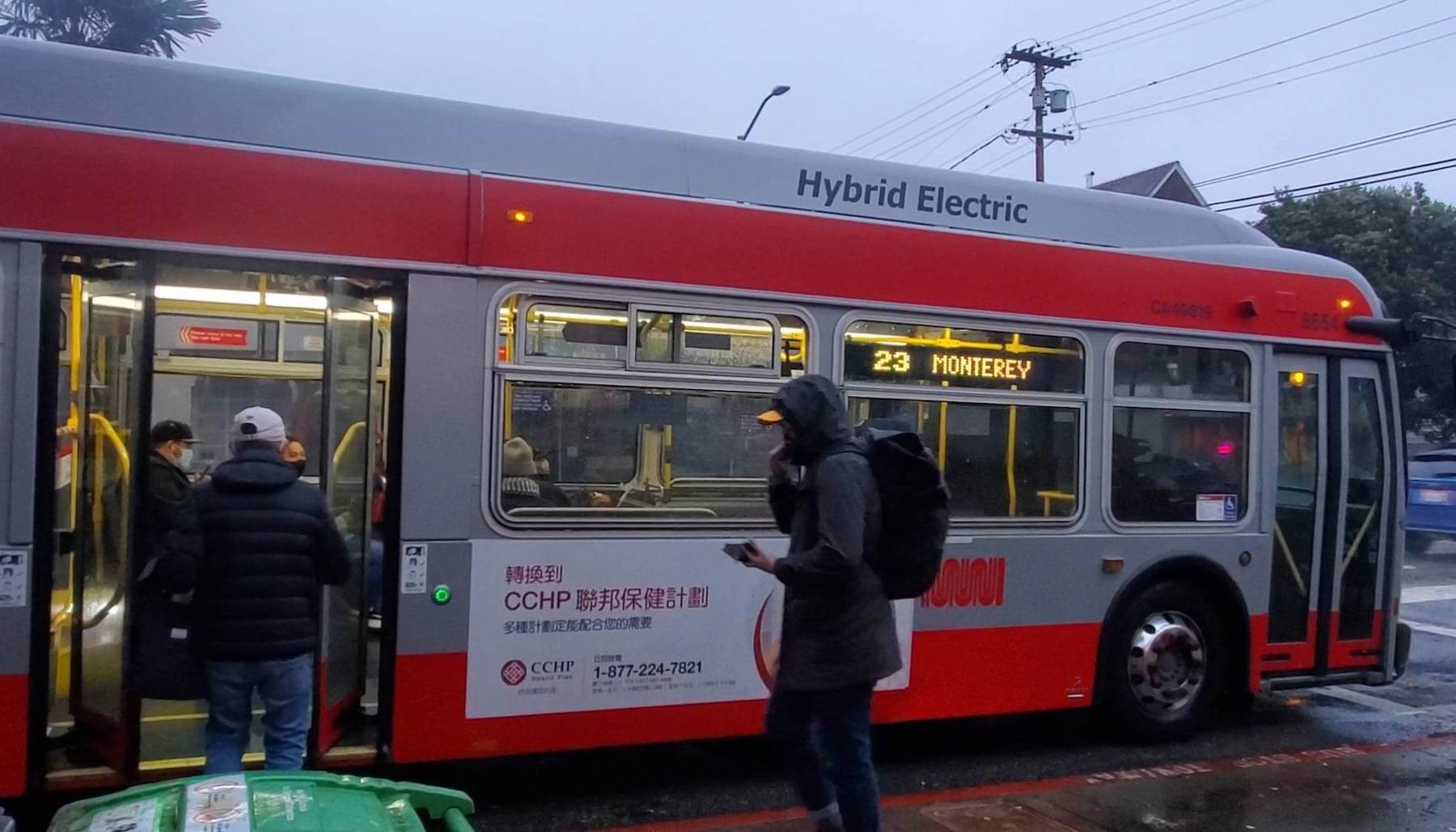
23-Monterey Bus Line
The 23 serves the Sunnyside and Glen Park neighborhoods. Heading east, the 23 makes transit stops in Bernal Heights and Bayview neighborhoods. On the west side, the 23 ends near West Portal. The SFMTA is currently running a shortened route on the 23, but will put the full route in March, where the route will once again serve transit stops along Sloat Boulevard to the Zoo.
🌐 23-Monterey Line
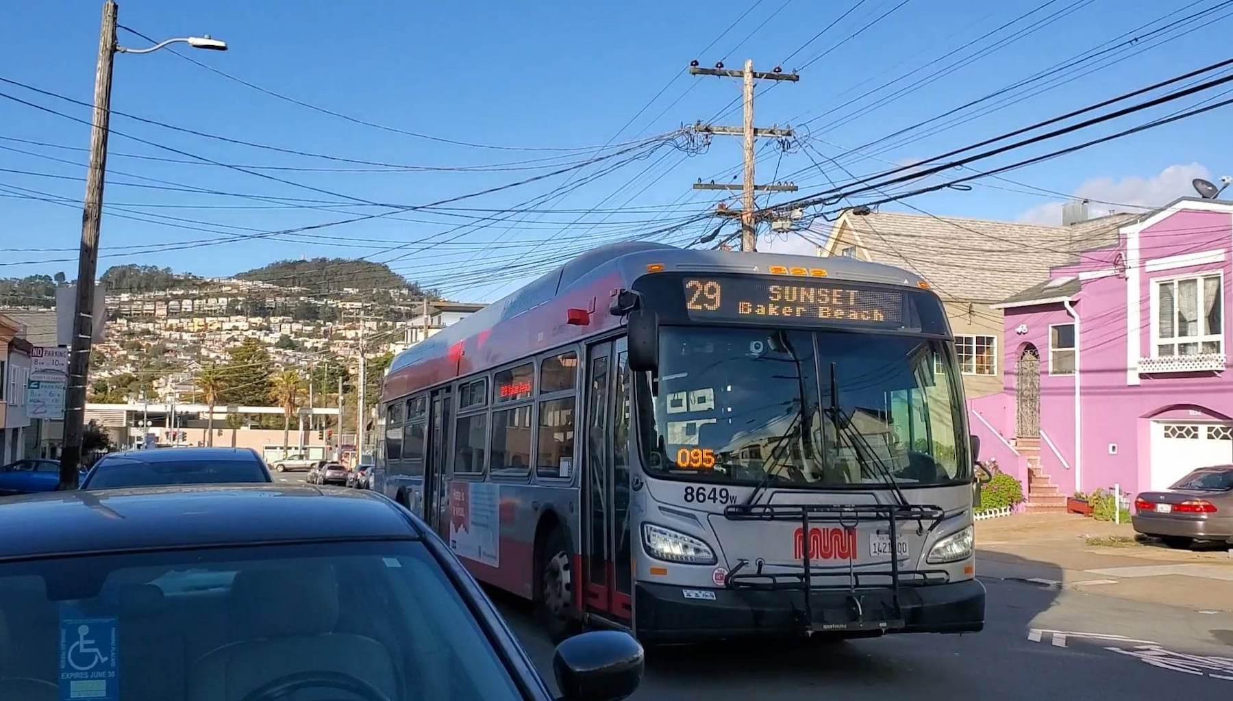
29-Sunset Bus Line
One of Muni’s longest routes, the 29 also serves the Ingleside. The 29 makes stops along Ocean Avenue, but also travels to several other neighborhoods, including the Sunset, Richmond and Bayview. Its route also includes stops near several educational institutions, including City College of San Francisco, San Francisco State University and Lowell High School.
🌐 29-Sunset Line
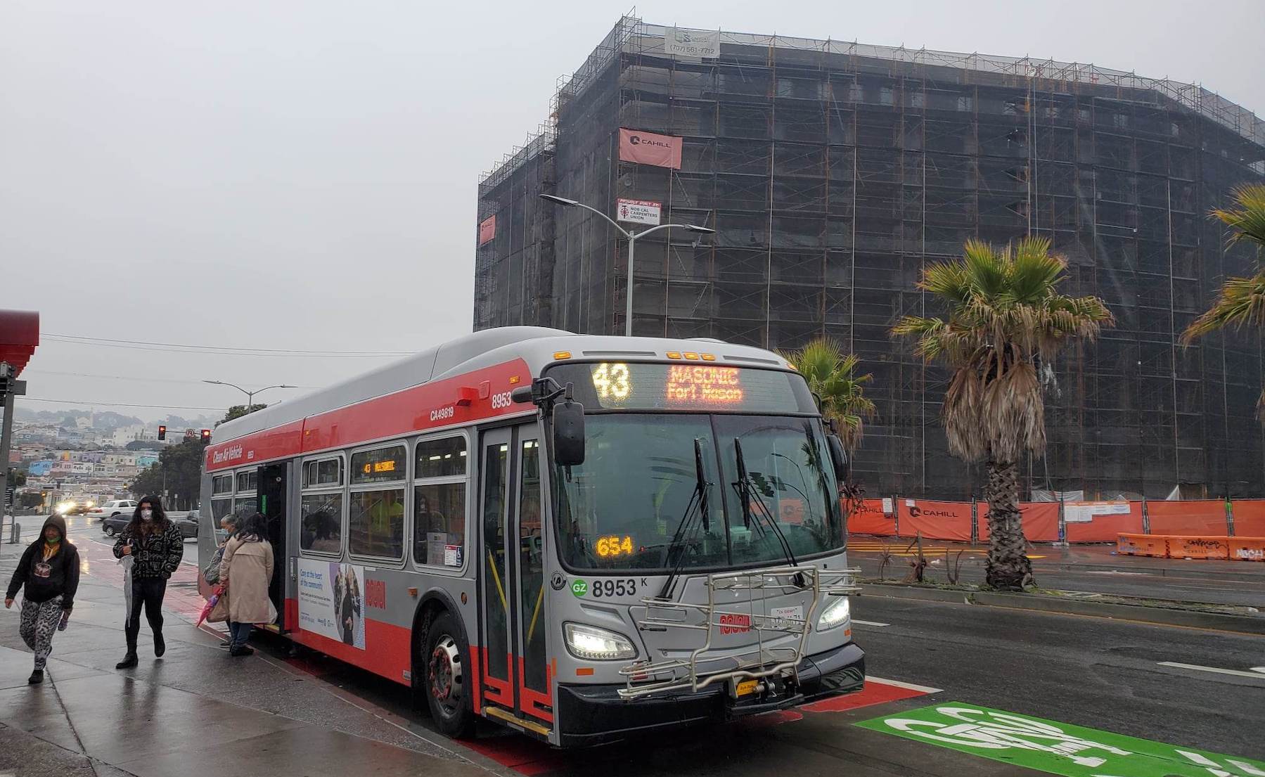
43-Masonic Bus Line
The 43 makes stops at City College of San Francisco north and south entrances along Frida Kahlo Way. The bus also serves a portion of Monterey Boulevard and makes a stop at Forest Hill station for passengers to connect with the subway. Passengers can also take the 43 to the Inner Sunset. The 43 would continue to make stops inside the Presidio and end near Fort Mason.
🌐 43-Masonic Line
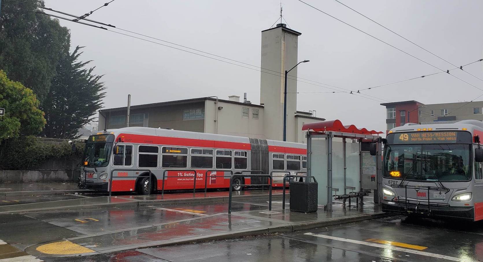
49-Van Ness-Mission Bus Line
The 49 terminates at the City College Terminal and heads to the Mission District. From the Mission, the route makes its way to Van Ness Avenue, while making stops at Market Street, City Hall and the California Pacific Medical Center Van Ness Campus. After Van Ness Avenue, the 49 heads to Fisherman’s Wharf.
🌐 49-Van Ness-Mission Line
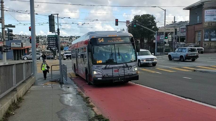
54-Felton Bus Line
The 54 drives around the Ocean View and Ingleside neighborhoods and makes its way to the Daly City BART station as its final stop. On the other end of the route, the 54 heads toward the Bayview, but not before making transit stops in the Excelsior and Portola neighborhoods.
🌐 54-Felton Line
Did we miss a public transit line? Is something out of date? Please let us know.


